“We don't get a signal around here”, the slightly bemused waitress replied, when I asked her if there was anywhere on the premises where I could go stand to get a cellphone signal. Not Telstra, not Optus, not Vodafone…no cell phone coverage. Period.
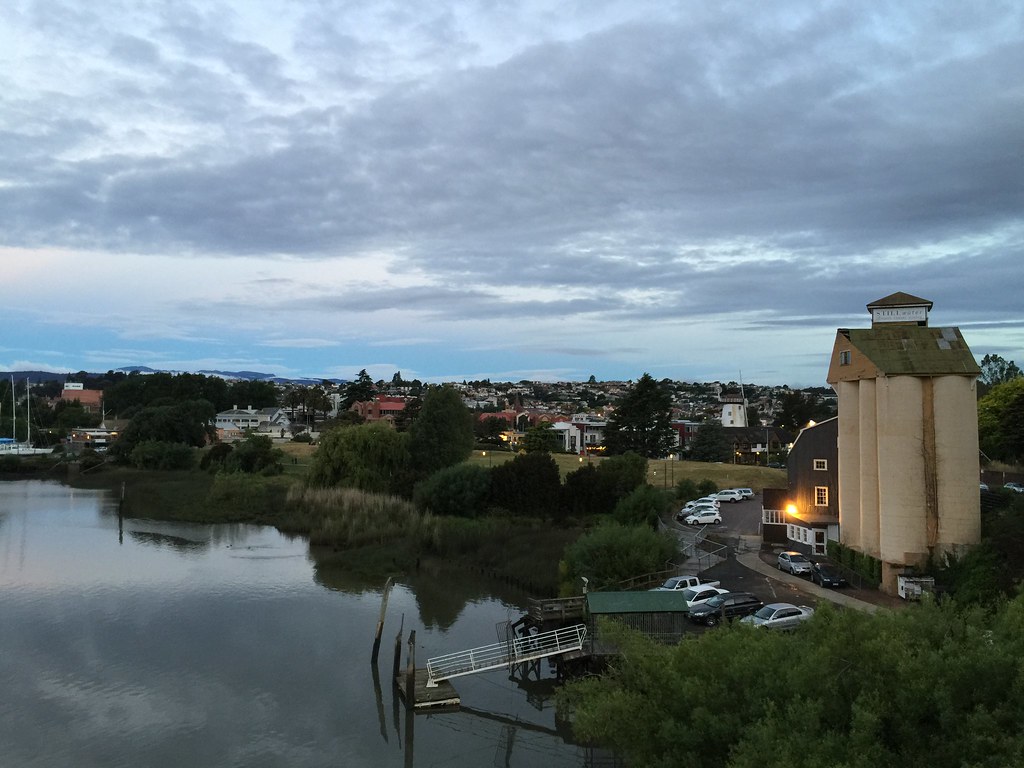
We were far inland in Tasmania, in Pyengana, on the way to the Bay of Fires, after spending 3 days in Launceston. On the long drive through scenic forests and winding hill roads, we had stopped at the Pyengana Dairy Company for lunch at their picturesque farm and café, set amid rolling hills and pastures where a very large number of dairy cows were grazing.
The kids were outside watching the cows. Mrs yflyer turn her gaze up from her bowl of zucchini soup, jaw frozen for an instant, as the waitress’s words sank in, then decided that this was not a concern for the moment. She continued sipping her soup, occasionally taking a bite of the accompanying warm toast with improbably thick slabs of rich butter layered on top. Only a dairy farm would be so generous with butter….
Wonderful food and hospitality, but no connectivity. Needless to say the café didn’t have free wifi either, although free tastings of their award winning cheeses more than made up for this shortcoming.
The lack of connectivity at that moment was an issue for me in one way, though...Google Maps on the iPhone requires an internet connection to set the initial route. Once set, you are fine if there is no cellular coverage, but you need internet at the start to set the destination. Abstinence from Youtube, Facebook, Twitter for a short while is not a bad thing – IT detox has its benefits – but in practical terms I needed Google Maps to provide driving directions to drive to Binalong Bay, just south of the Bay of Fires.
Oh well…it would be back to first principles as far as navigation was concerned. I had a paper map of Tasmania, and the road signs so far were good. And there was a cached map of major roads on Google Maps, on my iPhone, that could still be used.
We eventually got to the next town, near Binalong Bay, where cell coverage was restored, where we paused for a few minutes to enjoy the view of the sea and the orange-red rocks by the sea, before continuing our drive to Freycinet National Park.
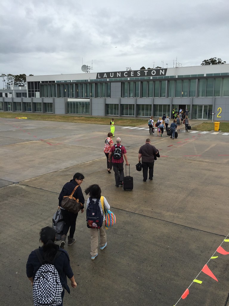
By that point, we were about a third of the way through our vacation to Tasmania. This trip would take us from Launceston to Freycinet (via the Tamar Valley wine route and Pyengana) and on to Hobart and Bruny Island. On this trip, our rental SUV would log 1114km…we picked the car up from Launceston Airport, and returned it in Hobart Airport 10 days later.

Just for comparison, I've done a cut-n-paste of a map of Singapore (at equivalent scale) onto this map, just to illustrate the distances involved...
We were far inland in Tasmania, in Pyengana, on the way to the Bay of Fires, after spending 3 days in Launceston. On the long drive through scenic forests and winding hill roads, we had stopped at the Pyengana Dairy Company for lunch at their picturesque farm and café, set amid rolling hills and pastures where a very large number of dairy cows were grazing.
The kids were outside watching the cows. Mrs yflyer turn her gaze up from her bowl of zucchini soup, jaw frozen for an instant, as the waitress’s words sank in, then decided that this was not a concern for the moment. She continued sipping her soup, occasionally taking a bite of the accompanying warm toast with improbably thick slabs of rich butter layered on top. Only a dairy farm would be so generous with butter….
Wonderful food and hospitality, but no connectivity. Needless to say the café didn’t have free wifi either, although free tastings of their award winning cheeses more than made up for this shortcoming.
The lack of connectivity at that moment was an issue for me in one way, though...Google Maps on the iPhone requires an internet connection to set the initial route. Once set, you are fine if there is no cellular coverage, but you need internet at the start to set the destination. Abstinence from Youtube, Facebook, Twitter for a short while is not a bad thing – IT detox has its benefits – but in practical terms I needed Google Maps to provide driving directions to drive to Binalong Bay, just south of the Bay of Fires.
Oh well…it would be back to first principles as far as navigation was concerned. I had a paper map of Tasmania, and the road signs so far were good. And there was a cached map of major roads on Google Maps, on my iPhone, that could still be used.
We eventually got to the next town, near Binalong Bay, where cell coverage was restored, where we paused for a few minutes to enjoy the view of the sea and the orange-red rocks by the sea, before continuing our drive to Freycinet National Park.
By that point, we were about a third of the way through our vacation to Tasmania. This trip would take us from Launceston to Freycinet (via the Tamar Valley wine route and Pyengana) and on to Hobart and Bruny Island. On this trip, our rental SUV would log 1114km…we picked the car up from Launceston Airport, and returned it in Hobart Airport 10 days later.

Just for comparison, I've done a cut-n-paste of a map of Singapore (at equivalent scale) onto this map, just to illustrate the distances involved...
































Comment