My run on Sunday afternoon began on the south end of the Golden Gate Bridge on the San Francisco side.
That end of the bridge gives you a good look into Fort Point far down below, a 19th century masonry fortification at the entrance to San Francisco bay.

Apart from the road for cars and other vehicles, the Golden Gate Bridge has a pedestrian / bicycle path running across both sides of the bridge, which makes it perfect for a walk, run or cycle.
The bridge is about 2.7km long, which makes it a fairly easy walk or run. Near the ends, you have quite a number of people walking along the bridge to take in the view, and many people do walk or cycle across the entire span, but the crowd does thin considerably by the time you reach the middle.

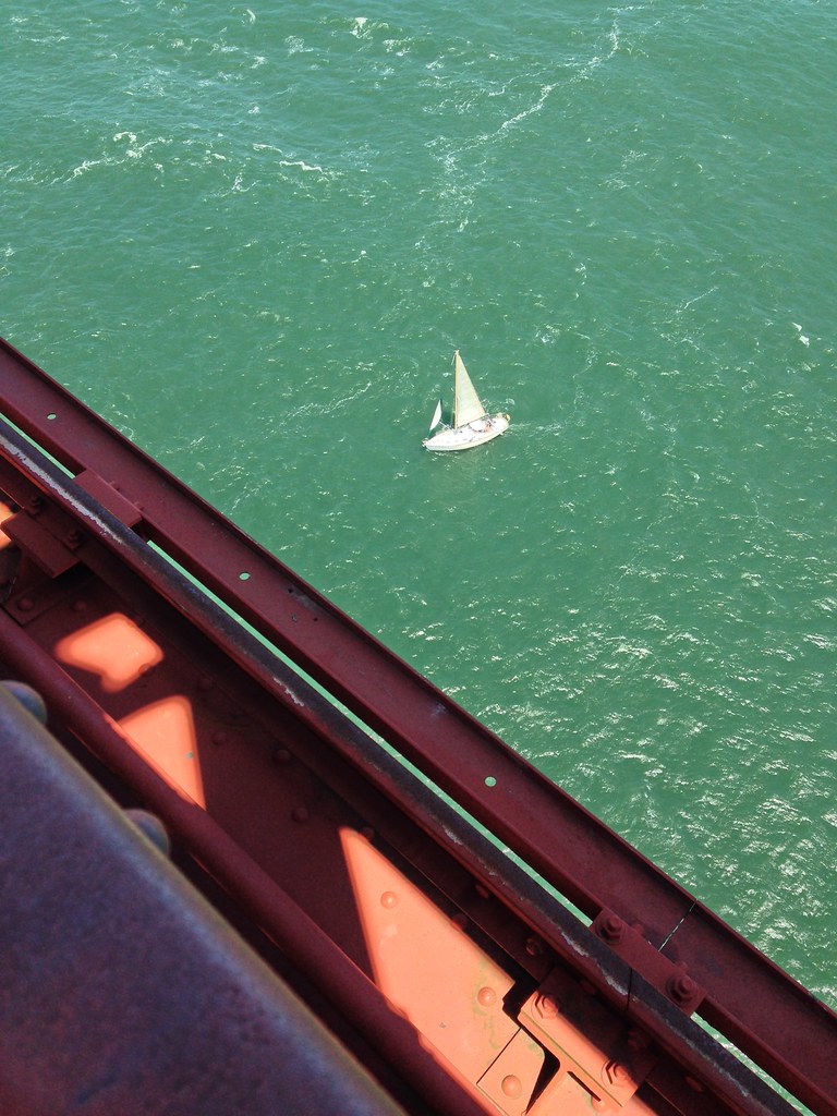
Views from the bridge are quite stunning.
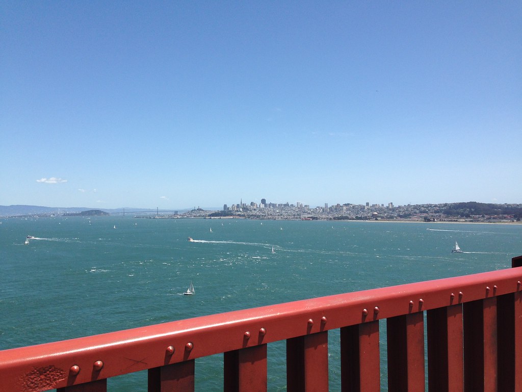
The weather was perfect on the days I was there. Bright and sunny with a brisk breeze along the bridge.
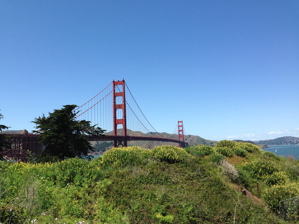
The next picture is the view from the other end of the bridge, at Marin Headlands, looking back towards San Francisco.

The visitor center and lookout point on this side of the bridge is usually quite busy, with many cars trying to enter and leave the carpark and viewing area, but this vehicle flow doesn't interfere with the pedestrian flow at this end.
I actually did this run twice -- once on Saturday and again on Sunday. On Saturday I did the run starting at the Marin Headlands, heading towards San Francisco. It was such a great route, that I decided that I just had to do it again on Sunday, but on Sunday, the second time round, I would start at the San Francisco end, jog across the bridge to the Marin Headlands, then turn back again to San Francisco, to make it a complete round trip across the bridge both ways before continuing on along the waterfront.
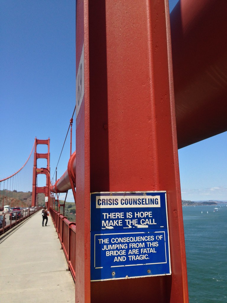
Along the bridge, you came across signs like these...
I saw this helicopter fly under the bridge (I swear it went under!) before coming around and going over the bridge back the way it came...

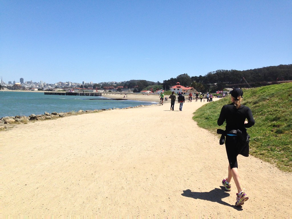
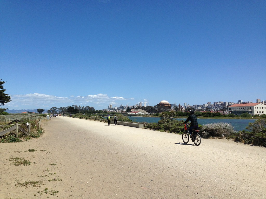
Back at the San Francisco end, I continued my run along the San Francisco Bay Trail in the Presidio (A National Park).
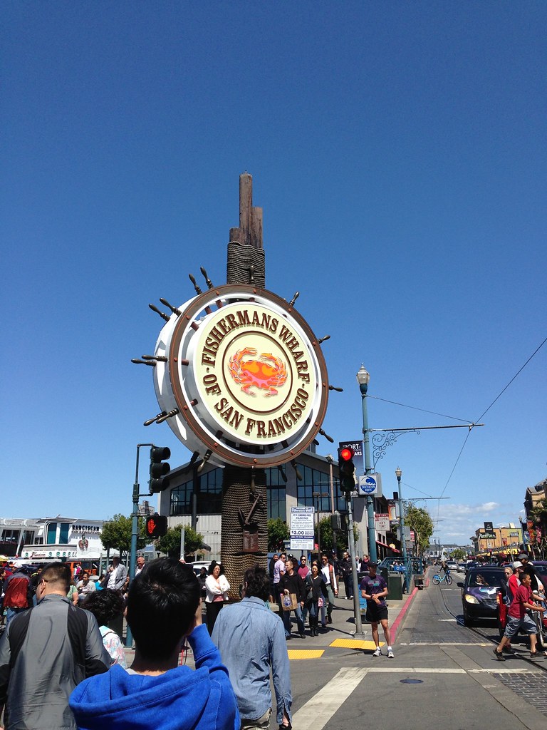
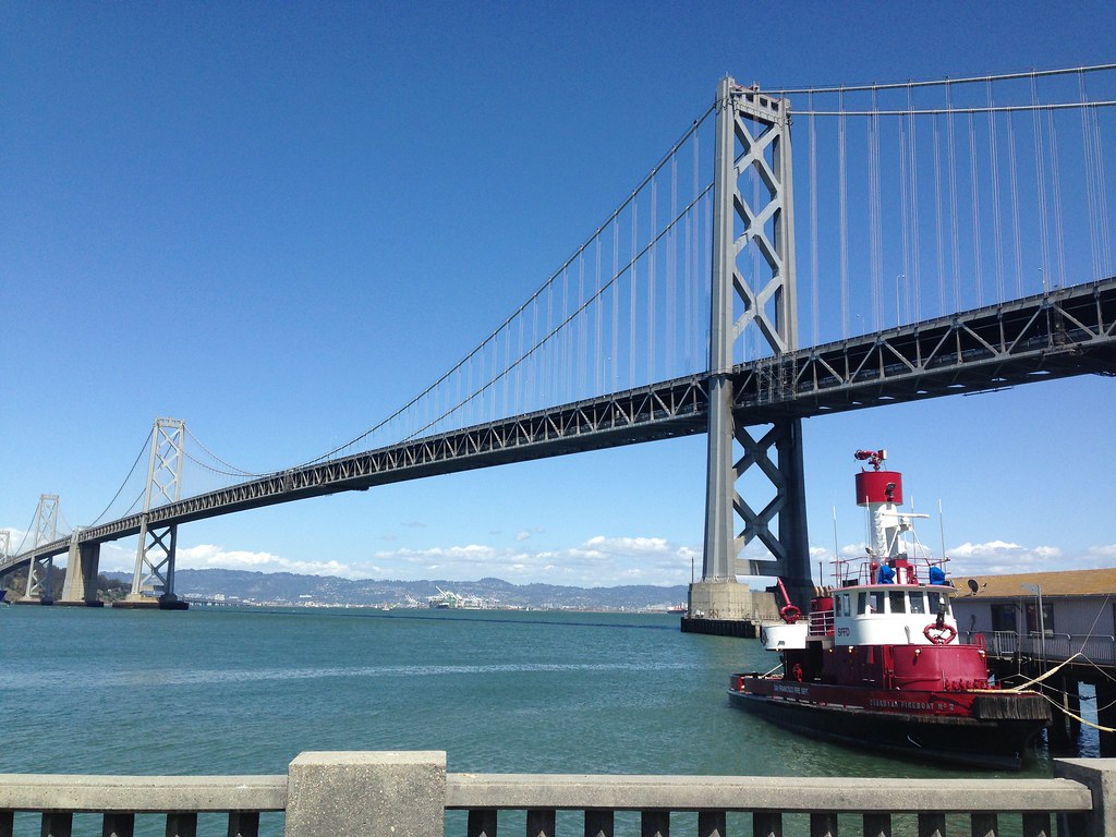
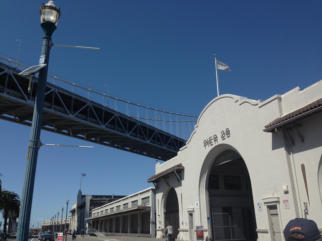
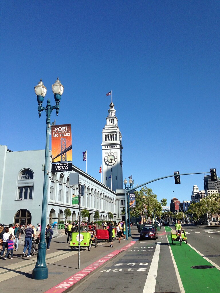
This would take me past Crissy Field, the yacht harbor and Marina Boulevard up till Fisherman's Wharf, and my route would continue right through to the Embarcardo, and on to the San Francisco Ferry Building and Oakland Bay Bridge.
Along the route, I would also pass by Sports Basement, the business that rents bicycles etc to visitors who want to explore the area by bike.
That end of the bridge gives you a good look into Fort Point far down below, a 19th century masonry fortification at the entrance to San Francisco bay.

Apart from the road for cars and other vehicles, the Golden Gate Bridge has a pedestrian / bicycle path running across both sides of the bridge, which makes it perfect for a walk, run or cycle.
The bridge is about 2.7km long, which makes it a fairly easy walk or run. Near the ends, you have quite a number of people walking along the bridge to take in the view, and many people do walk or cycle across the entire span, but the crowd does thin considerably by the time you reach the middle.

Views from the bridge are quite stunning.

The weather was perfect on the days I was there. Bright and sunny with a brisk breeze along the bridge.

The next picture is the view from the other end of the bridge, at Marin Headlands, looking back towards San Francisco.

The visitor center and lookout point on this side of the bridge is usually quite busy, with many cars trying to enter and leave the carpark and viewing area, but this vehicle flow doesn't interfere with the pedestrian flow at this end.
I actually did this run twice -- once on Saturday and again on Sunday. On Saturday I did the run starting at the Marin Headlands, heading towards San Francisco. It was such a great route, that I decided that I just had to do it again on Sunday, but on Sunday, the second time round, I would start at the San Francisco end, jog across the bridge to the Marin Headlands, then turn back again to San Francisco, to make it a complete round trip across the bridge both ways before continuing on along the waterfront.
Along the bridge, you came across signs like these...

I saw this helicopter fly under the bridge (I swear it went under!) before coming around and going over the bridge back the way it came...

Back at the San Francisco end, I continued my run along the San Francisco Bay Trail in the Presidio (A National Park).

This would take me past Crissy Field, the yacht harbor and Marina Boulevard up till Fisherman's Wharf, and my route would continue right through to the Embarcardo, and on to the San Francisco Ferry Building and Oakland Bay Bridge.
Along the route, I would also pass by Sports Basement, the business that rents bicycles etc to visitors who want to explore the area by bike.

















Comment